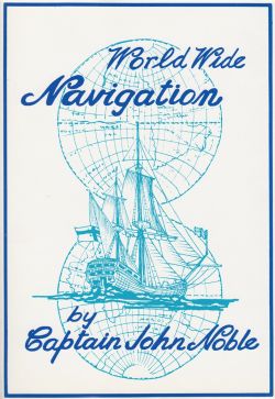
(Out of Print) - World Wide Navigation
- Price:
- £0.00
Item attributes
- ISBN:
- 978-0-85174-528-2
- Published date:
- First published 1987
Item details
Convergence of meridians towards the poles and knowledge of the earth's circumference were two of the problems that Columbus, Magellan, Drake and contemporary voyagers faced. Claudius Ptolemy's texts told them the earth was about three-quarters its actual size; Columbus believed the West Indies were part of Asia, Magellan and Drake under-estimated longitude when crossing the Pacific.
The first Dutch navigators in the Southern Ocean came to the Great South Land sooner than expected because of an apparent misunderstanding of convergence of the meridians.
Mercator solved this problem by projecting the earth's curved surface as straight lines on plane charts, still using Ptolemy's figures for the earth's circumference. Early in the 17th century Dutch, English and French mathematicians agreed that the metre-a ten millionth of the distance from the pole to the equator-was 39.37 inches, a minute of latitude 1852 metres.
All that was needed in the 18th century was a method of finding longitude at sea. John Harrison's chronometers and Captain Cook's use of the lunar distance method in Endeavour solved this problem and opened the Pacific for exploration and colonisation.
In World-Wide Navigation Captain Noble, after a lifetime at sea, unfolds details of how these great navigators, and their instruments developed. It is written in layman's language, is not a text-book, but will prove a valuable addition to every library about ships and the sea.

